Skip to content
Aerial SurveyExeter · Devon and the South West

Exeter, Devon and the South West

The whole parcel, photographed and measured, not one corner of it

Aerial survey for farms, estates, solar sites, quarries and development land. A planned flight over the area, and the orthomosaic, surface model, contours, point cloud or volumes you asked for out the other side.
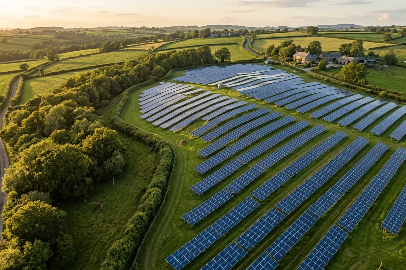
A ground mounted solar array following the contour of a Devon hillside in low evening light, with mown grass tracks between the panel rows and hedged fields beyond
  • Fixed price agreed before the flight, travel included
  • You specify the output, we plan the flight around it
  • Written report within 48 hours of the flight
  • No accuracy figure published, and here is why

The problem with ground

You can walk a parcel all day and still not be able to measure it

Land is awkward to look at from inside it. A field that reads as flat from the gateway has a fall across it. A boundary that looks straight on the deed plan wanders round an old bank. A stockpile that everyone agrees is about the same as last month is not, and nothing on the yard settles the argument.

The usual answers all have a cost. A ground survey of a large parcel is a long job for a skilled person. A satellite image is old and coarse. A photograph from the gateway shows you the gateway. Meanwhile the decision waiting on it, a purchase, a design, a claim, a report to a client, sits still.

An aerial survey closes that gap for a specific class of question: anything about the shape, extent, condition or change of an area of ground. It is not the answer to every question, and this site is unusually clear about which ones it is not the answer to.

What gets flown

Three jobs, all about an area rather than a building

Every one of them is the same underlying flight, planned differently: overlapping frames captured across a piece of ground at a consistent height, then built into whatever you specified.
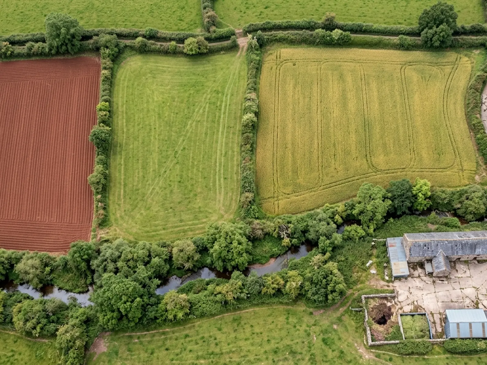
Hedged Devon field parcels photographed straight down from height, one freshly ploughed to red soil, one in grass and one under crop, with a farm track and a stone barn in the corner

Aerial site mapping

A planned photographic run over a parcel or a site, and the orthomosaic, surface model, contours or point cloud built out of it.

Site mapping
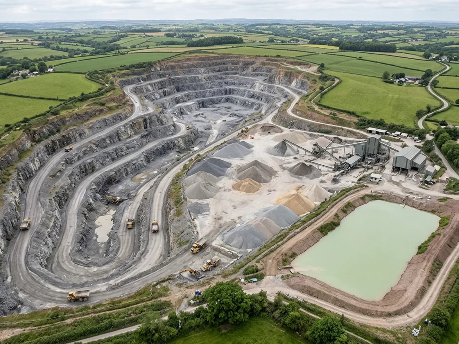
A working Devon stone quarry from the air, with a stepped rock face, graded aggregate stockpiles on hardstanding, dump trucks and loading shovels on the haul roads and a settling pond alongside

Volume and stockpile surveys

Repeat flights over quarries, aggregate yards, clamps and fill, measuring the difference between one captured surface and the next.

Volumes
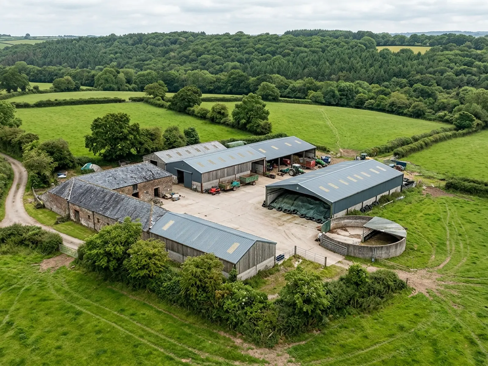
A Devon farmstead from the air, with grey profiled metal roofs and an older slate range, a covered silage clamp, a round slurry store, tractors and trailers parked on a swept concrete yard, surrounded by hedged pasture and woodland

Land and estate records

A dated aerial record of a whole holding, farm, estate or solar site, flown so that this year can be put next to last year and read.

Estate records

Credentials

What sits behind the survey

Registered operator

CAA registered, with an Operator ID and a Flyer ID held. Both are checkable, and any land agent or consultant is welcome to ask for them before a flight is booked.

A2 Certificate of Competency

The A2 CofC, which is what governs how close the aircraft may work to people who are not part of the job. No GVC is held, so operations are planned inside the A2 CofC.

Aircraft

A DJI Mavic 4 Pro carrying a 100 megapixel Hasselblad camera and 6K video, and a DJI Mavic 2 Enterprise Advanced with a 640 by 512 radiometric thermal camera.

Insurance

Insured with Coverdrone for commercial operations. A certificate goes to your office before the visit if your site induction needs one on file.

What arrives
Files you can work from, and a report that says what they are

The outputs are the job. The report exists so that the person opening the files a month later knows how they were captured and what the capture could not reach.
  • The stitched orthomosaic of the area, square on so it can be measured across
  • A surface model carrying the height of the ground and everything standing on it
  • Contours generated from that model where the job asked for them
  • A point cloud or textured model where that is the useful form
  • Volumes between two surfaces, with the base surface stated next to the figure
  • The original frames, so any detail traces back to the photograph it came from
  • A note on height flown, overlap, conditions, and whether control was on the ground
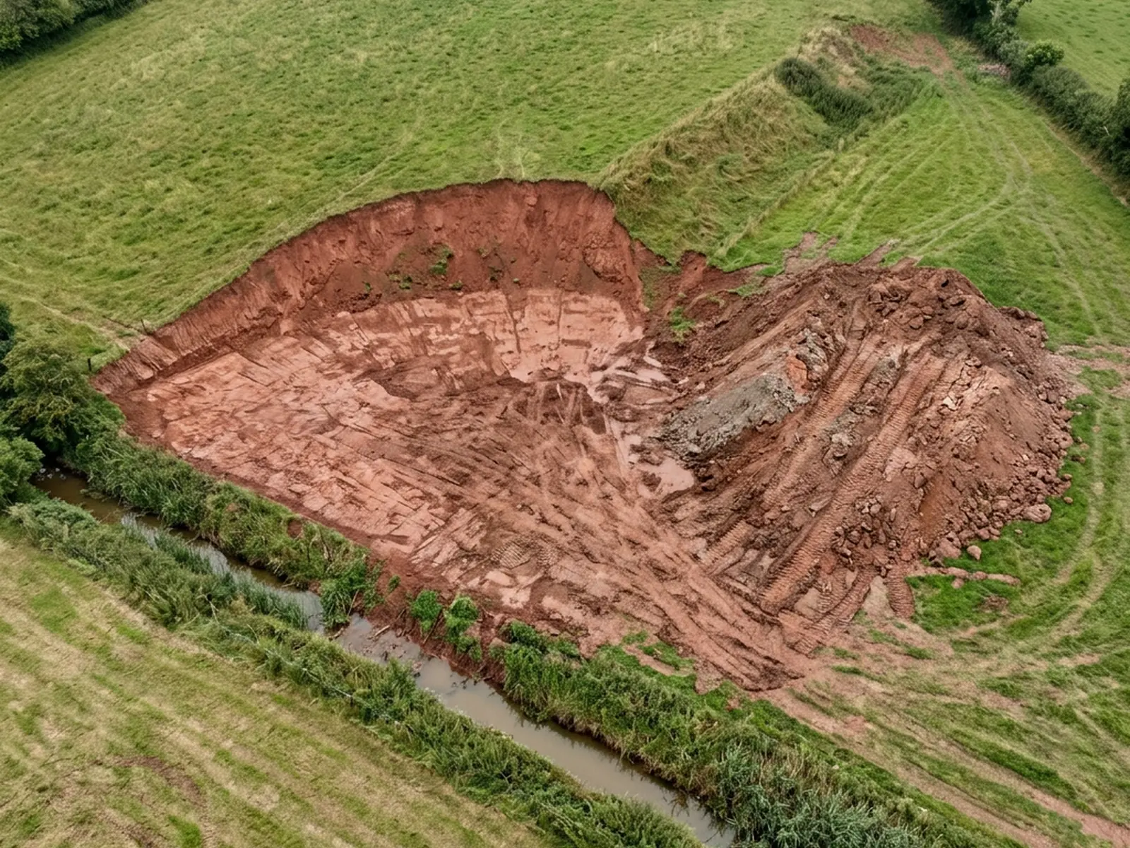
A parcel of sloping ground photographed straight down, with a cut earth bank, an excavated area of bare red soil, a tracked spoil heap and a drainage ditch along the lower edge

The kind of ground

Farmland, working pits, parkland and the tracks between them

Devon and the South West are not easy survey country. Small parcels, thick hedge banks, steep sides, wet ground and a lot of weather. The flying is planned around all four.
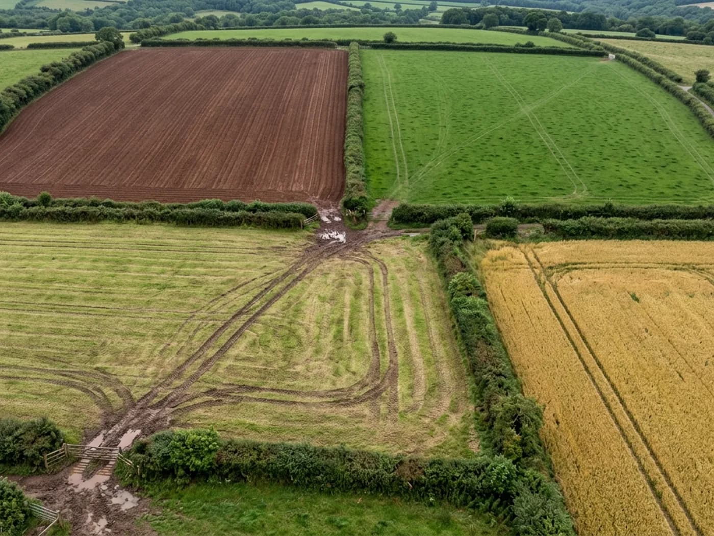
Four hedged Devon field parcels photographed straight down, one ploughed to bare red soil, one in grass, one cut for silage and one under a standing cereal crop
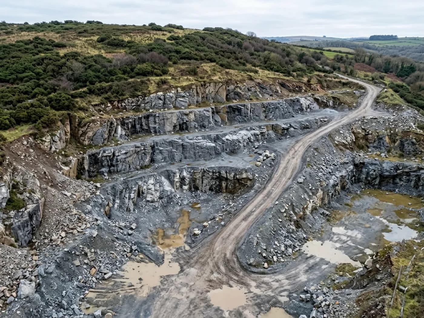
The stepped working face of a small Devon stone quarry from low height, with graded benches, loose scree at the toe and standing water in the floor of the pit
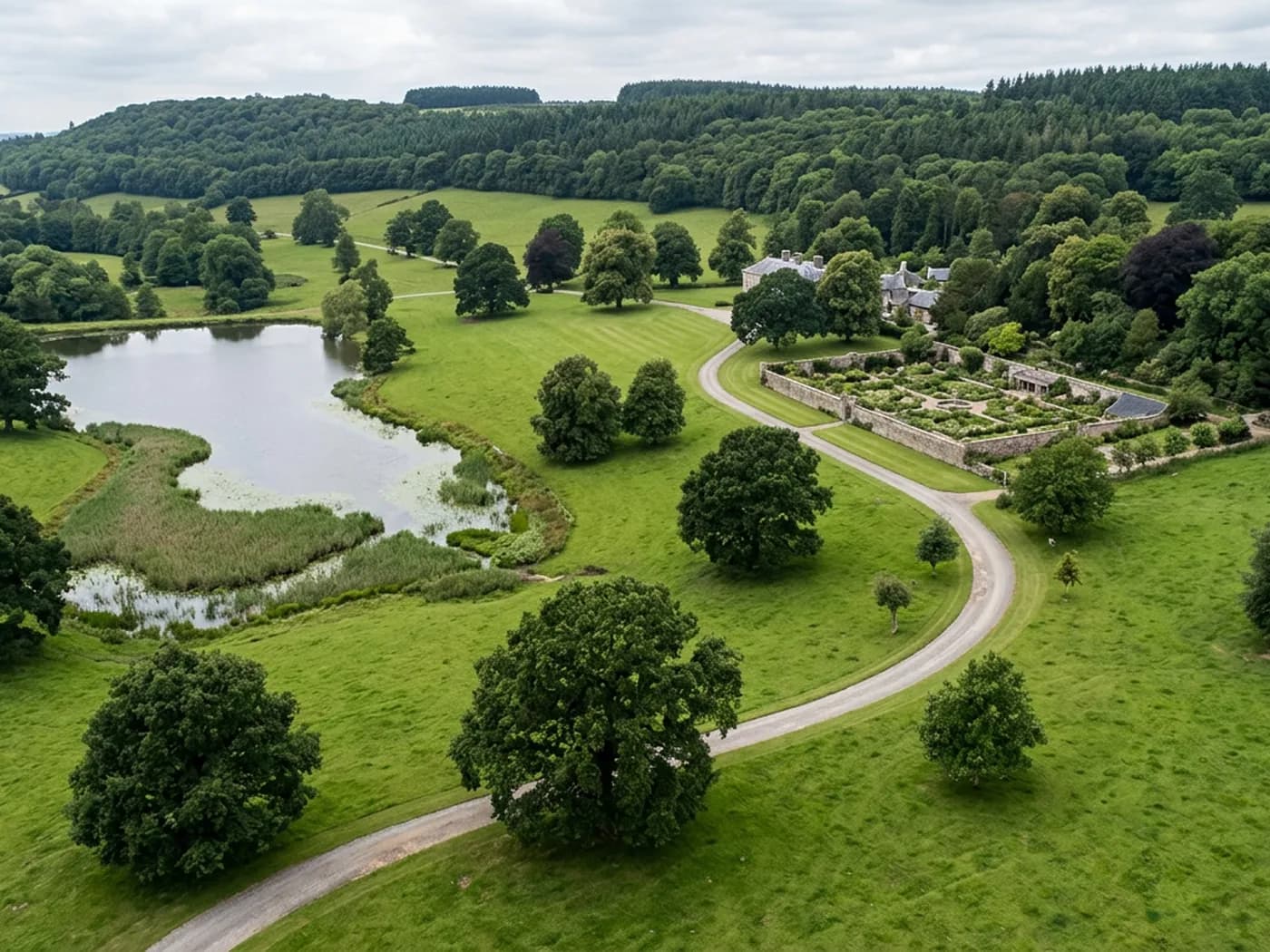
Parkland on a Devon estate from the air, mature oak and beech standing in cropped grass with a lake, a gravel drive and a walled garden
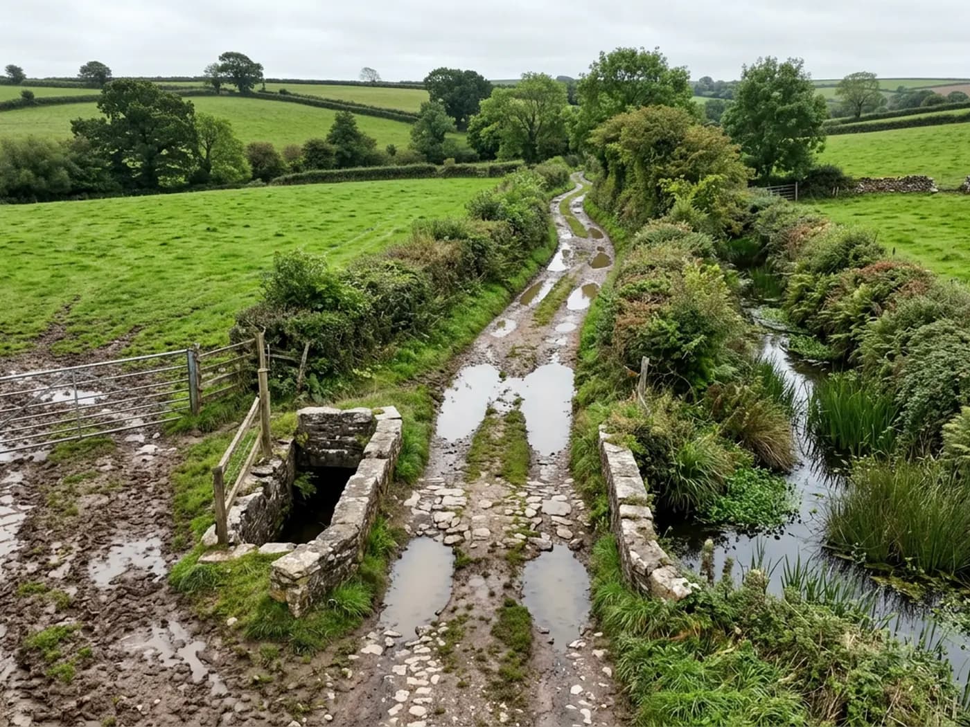
A farm track from low height with water standing in the ruts, a stone culvert over a ditch and a churned field gateway

Where we fly

Rural coverage from Exeter, out across four counties

These are land-heavy places rather than town centres, because that is where this work is. Each one has its own page on what surveying ground there actually involves.

Questions

Questions we get asked

What accuracy do you quote?
None, and that is deliberate. A figure quoted without saying how it was measured, over what ground and against what control is worth nothing to you when it matters. Absolute accuracy on an aerial survey comes from control points set and recorded by a land surveyor. If your job needs that standard, bring a surveyor in for the control and we will fly to it. The page on accuracy and control sets out the whole picture.
What do I actually receive?
Whatever you specified, plus the written report inside 48 hours of the flight. The usual set is the stitched orthomosaic of the area, a surface model, contours generated from that model, a point cloud, and volumes where two surfaces are being compared. Tell us the file formats and the coordinate system you work in when you ask for the price, because it is easier to plan a flight around an output than to reprocess afterwards.
How big an area can you cover in a visit?
It depends on the height the job allows, the shape of the ground and the weather window on the day, so the sensible answer comes after we have looked at the parcel rather than before. Send a boundary or a postcode and we will tell you whether it is one flight, several batteries or two visits, and price it that way.
Do you need to come on site first?
Usually no. Most of the planning is done from mapping and airspace data before we travel: the take off point, the flight lines, the height, where people and livestock are likely to be, and whether any permission is needed. For a complex or restricted site a short look first saves an aborted flight, and we will say so when we quote.
Can you fly over land I do not own?
The aircraft can pass over neighbouring ground in some circumstances, but the take off and landing point has to be land you control or have permission to use, and the flight has to keep the separation the A2 Certificate of Competency requires from people who are not part of the job. Tell us early if the parcel is tenanted, split by a road or crossed by a public footpath, because that changes the plan rather than the price.
What stops a flight?
Wind above the aircraft's limit, persistent rain, low cloud that puts the height out of reach, and airspace restrictions we have not been able to clear in time. Low winter sun matters too, because long shadows across a field hide the ground the model needs to see. We watch the forecast and move the visit rather than fly a survey that will not process.
Do you work for consultants and contractors as well as landowners?
Yes, and a good share of the work arrives that way. If you are specifying on behalf of a client, send the specification and we will tell you plainly which parts we can meet, which need control set by a land surveyor, and which need a different instrument altogether.

Tell us the output you need

Request a quote with Aerial Survey

Send the boundary or the postcode and the output you need. Sam Hembury comes back with a fixed price, a date and anything in the brief that needs settling first.

Call 07460 075931Request a quote